ICEFIELD DISCOVERY - RESEARCH MAP
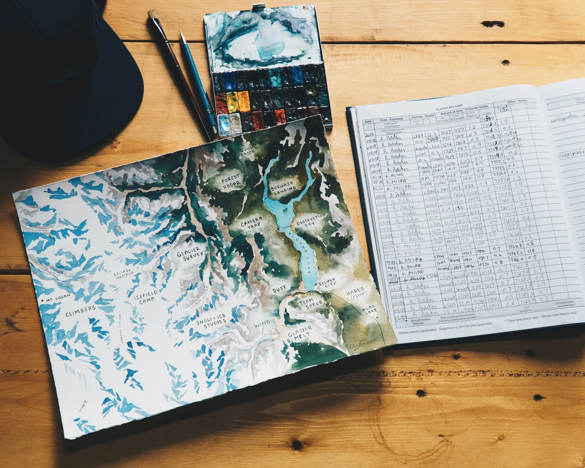
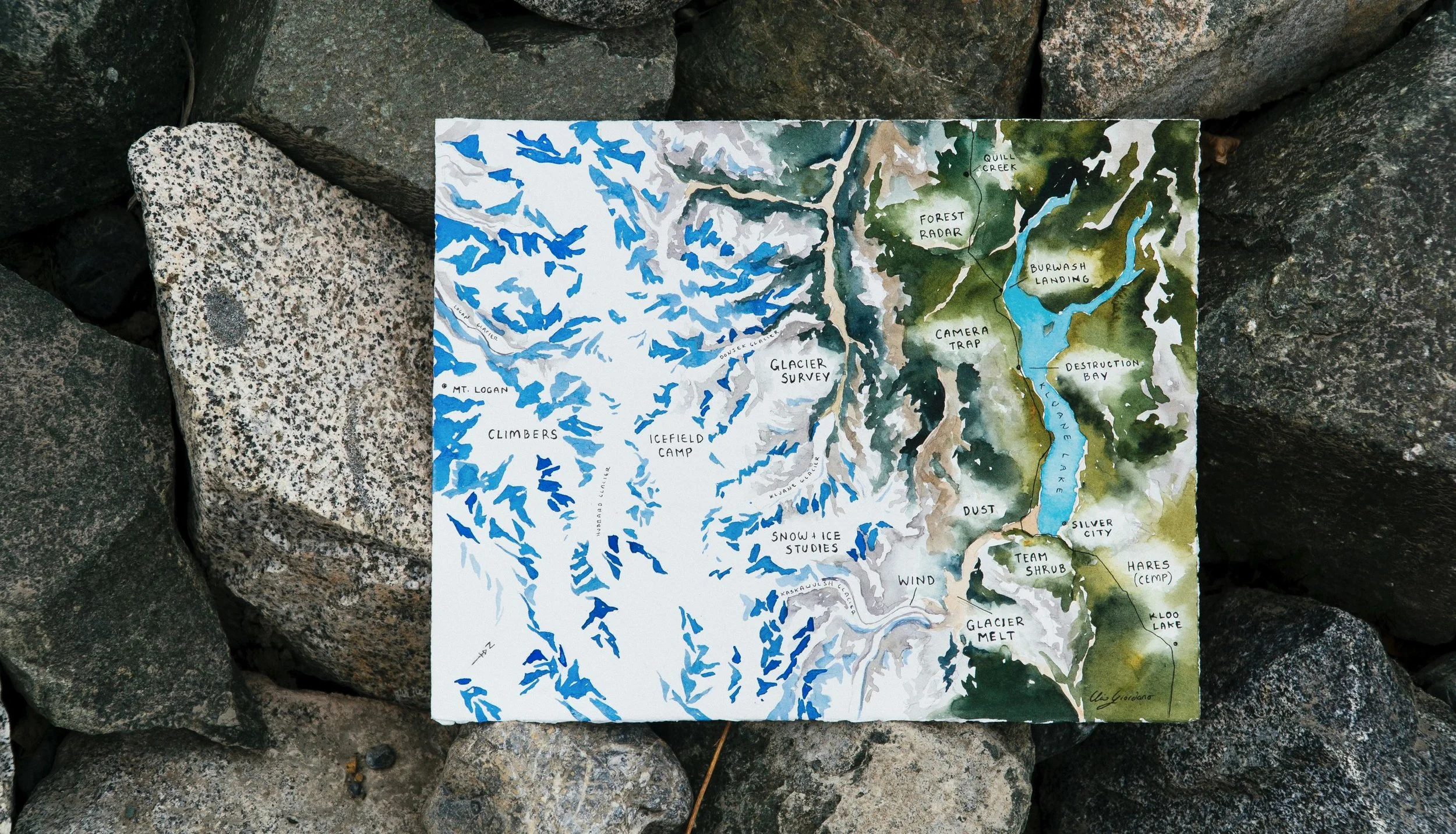
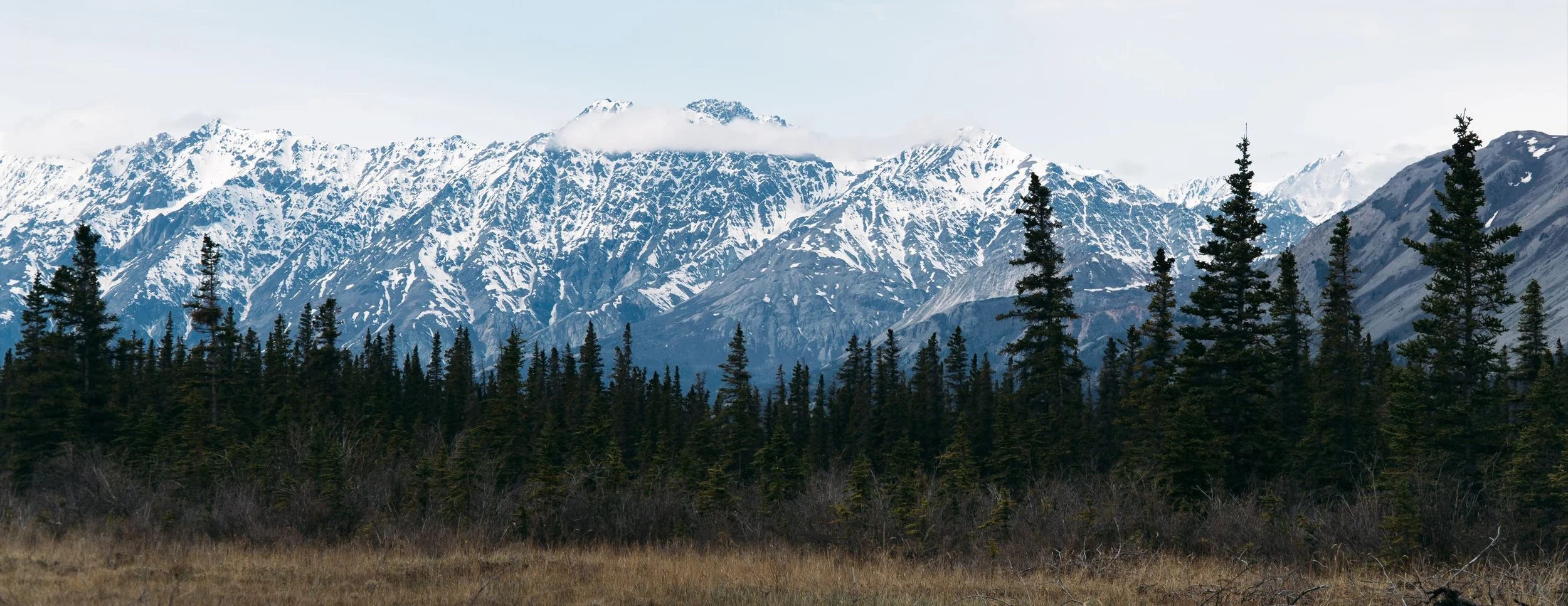
While working with the Sea to Sky Program at Kluane Lake Research Station, I had the opportunity to create a custom map for Sian Williams, the owner and operator of Icefield Discovery. The map shows the breadth of the organization’s operations, both in supporting research and in facilitating air access to the Wrangell Saint-Elias Mountains. The map was used in a presentation shared with the local First Nations community during a collaborative summit between researchers and Canadian First Nations. Science is not always communicated well with indigenous communities, and it was an honor to create a map that was well-received and helped foster increased dialogue, understanding, and connection between the participants and researchers.