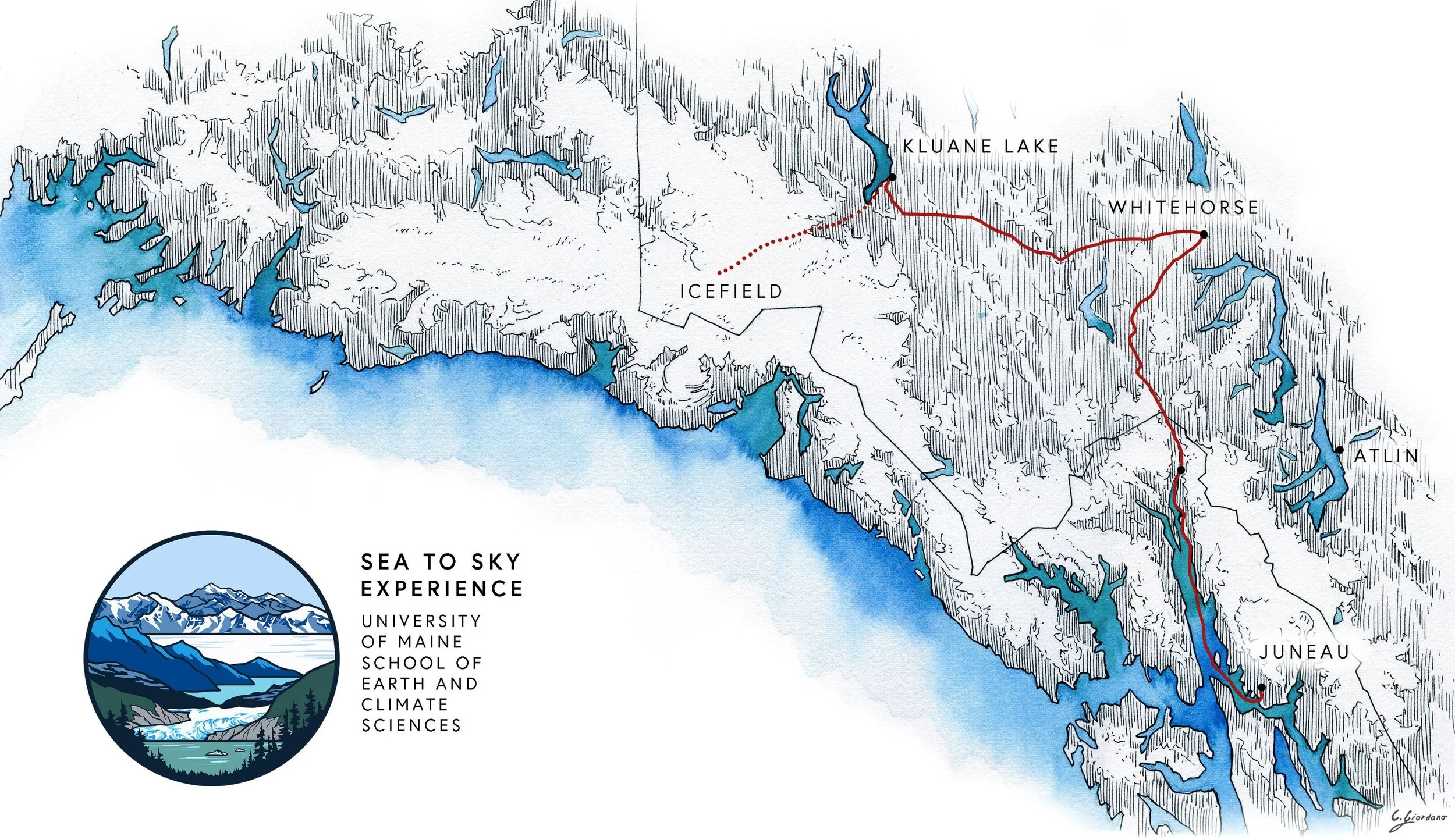
Sea to Sky Experience Map
Watercolor and ink map created for the University of Maine’s Sea to Sky Experience. The map shows the travel route of this unique travel study course. The map is simple, as it is designed to work in conjunction with the infographic I also created for the course, and we wanted something that visually supported the infographic without visually overpowering it when displayed together.
I also created the logo, shown below (the logo reflects the three major locations of the course; Juneau and the Mendenhall Glacier, Kluane Lake, and Mount Logan as seen from the Icefield camp.